 |
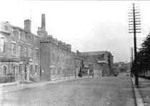 |
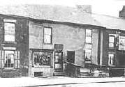
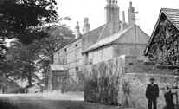
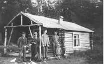
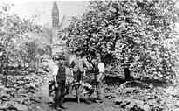
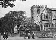
Industrial suburb of the town of Preston, county of Lancashire, England. It is situated in South Ribble district, overlooking the Rivers Darwen and Ribble. Waletune was of Anglo-Saxon origin, and the suffix "le Dale" was added in Norman times. The parish church of St. Leonard also dates from this period, although only the chancel and tower of the original building remain. In 1648 the town was the site of a battle between the armies of Cromwell and James Hamilton, 1st duke of Hamilton. Cotton and paper mills were important. The following photos show views of Walton-le-Dale earlier this century: |
 |
 |
|
 |
 |
|
 |
South Ribble
District and borough, county of Lancashire, northwestern England, occupying an area south of the borough of Preston. The district is part of the Lancashire coastal plain bordering on the Pennine uplands to the east. It was covered by glacial moraine deposited by the Irish Sea ice sheet.
Preston
Borough and district, county of Lancashire, England, at the lowest bridging point of the Irish Sea estuary, on the River Ribble. The town grew near the site of a Roman fort at Walton-le-Dale, on a ridge overlooking the river. Its location, on a major north-south route, established it as a market centre in the European middle-ages, and the first of 14 charters was granted about 1179. This charter also granted a merchant guild, which has met regularly ever since. by the Tudor period (beginning in the late 15th century), Preston was a great interregional market centre lying at the focus of the road system. Domestic industry, especially woolen and linen weaving, grew owing to the town's increasing importance. During the Eenglish Civil War, Preston, the Lancashire royalist headquarters, was besieged and captured, and the fortifications were destroyed. Royalist forces were defeated by the parliamentary forces of Oliver Cromwell at Preston in 1648. Further stimulus to growth came in 1777, when the first cotton-spinning mill was built in Moor Lane. By 1835 there were 40 factories, mainly spinning, producing 70,000 pounds (32,000 kg) of cotton yarn weekly. Improved port facilities after 1843 established a trade in Lancashire coal, cotton goods, and raw materials.
.